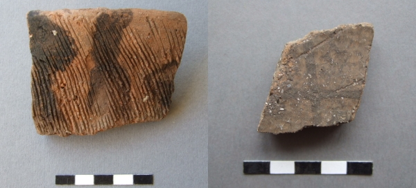
 Today’s image for Day 302 of the VM_365 project is of two Iron Age pottery sherds, both from a similar archaeological period and from the same site near Broadstairs. Both sherds seem to exhibit an apparent surface decoration. However, the origin of the patterns on the surface of each sherd is quite different.
The sherd on the left is from the rim of a simple open-form bowl. The fabric is flint-tempered and the surface has been decorated with a comb, it is datable to between c.500-350 BC. But what are the black streaks on the surface? The sherd has been washed when it was brought from the site but the black colouring survived intact. Is this some form of avant-garde art, with the black colouring applied as a visual contrast to the more rigid but bold comb-decoration?
The answer, as near as our experience can judge, is more prosaic. The pattern is caused by soot-impregnation or staining. One can imagine soot dribbles being created in a rubbish pit, where the sherd has been discarded and imperfectly sealed by earth or other rubbish. Material, wood as cuttings, carpenters shavings, perhaps even cloth or some rotting vegetable matter, is thrown on top and burnt, creating sooty ash. Then the powdery charcoal rich ash, mixed with rainwater, making a thick and rich solution that seeps lower into the pit, dribbling in streams and impregnating the surface of the pottery as it runs over it.
Unlike the sherd on the left, with naturally acquired soot-staining, the sherd on the right is deliberately decorated with a black trellis design, deliberately painted using crushed charcoal or carbon deposits mixed with water, to provide the black colour. The trellis pattern was applied as a horizontal band around the shoulder panel of a large fineware jar. The linear design is typical of the rectilinear motifs current during the Early-Mid Iron Age between c.600-350 BC, inspired by continental rectilinear art-forms in Halstatt style, as opposed to the more curvilinear designs of La Tene type, more typical of the succeeding Mid and Mid-Late Iron Ages between c.350-50 BC.
The two patterning processes, one deliberate and one a fortuitous phenomenon of the deposition of the pot sherd should cause a momentary hesitation for archaeologists before reading all patterning and surface treatments as a deliberate act of decorative symbolism. The archaeologists job is determine the boundaries between the signals from the past and the noise accumulated by the random processes of time.
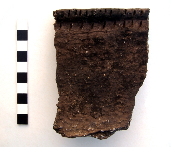 Today’s image, for Day 307 of the VM_365 project, shows a large sherd from a Middle Bronze Age, Deverel Rimbury style, pottery vessel that was excavated from the
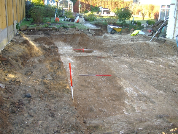
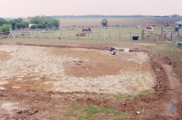
 Today’s image shows two views of a very small excavation carried out during the construction of a garage at North Foreland Road, Broadstairs in 2004.
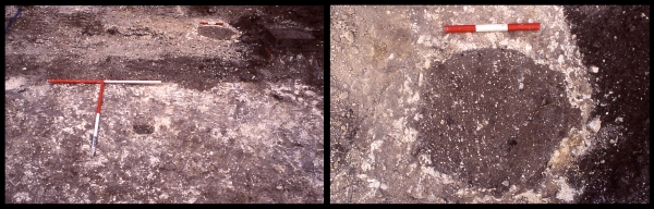
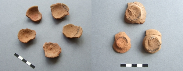 The image for Day 304 of the VM_365 project shows two images of a group of small ceramic vessels of a type that have been called tazza, a term derived from the Italian word for a cup. The image on the left shows the upper surface of the vessels, the right hand image shows the bases of three of them.
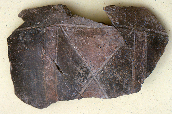 Today’s image for Day 303 of the VM_365 project shows a number of joining sherds from the upper part of an Iron Age polychrome decorated pottery vessel, which was found in an excavation at Dumpton Gap in the 1960’s.
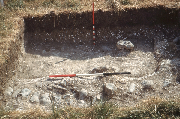
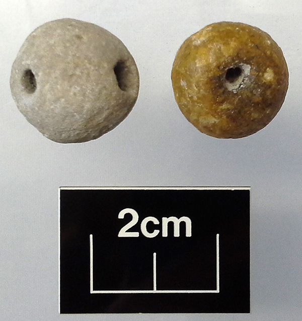 Today’s image for Day 300 of the VM_365 project shows two Late Iron Age/Roman beads from the