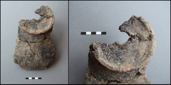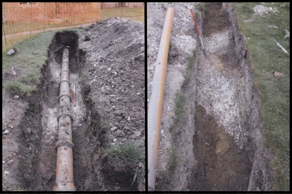
Today’s image for Day 310 of the VM_365 project continues our theme of keyhole excavations and the important archaeological information that can be gleaned from them. The image shows two views of the remains of a rammed chalk foundation that was recorded during the work in 2010 to re-lay drains at St Mildred’s Priory, Minster. The Priory is located on the the eastern edge of the village of Minster, on low lying lands overlooking the marshland in the former Wantsum Channel.
The standing buildings at St Mildred’s Priory, which has also been known as Minster Abbey and St Mildred’s Abbey, date from the 11th and 12th centuries and were constructed as a monastic grange by the Benedictine Monks of St Augustine’s Abbey Canterbury after the land was granted to them by King Canute.
The site of the monastic grange had previously been occupied by a nunnery, established at Minster by Domneva, a niece of King Egbert of Kent in the 7th century. Domneva’s daughter later became known as St Mildred, after whom the Abbey was later named. The early nunnery was reported to have been destroyed during the Viking incursions in the 9th century after which the land became a farm, or grange, for St. Augustine’s Abbey.
The buildings of the monastic grange were renewed and altered in the early 15th century and the standing remains include herringbone walling, Norman doorways and windows and a medieval brewhouse. Following the Dissolution of the Monasteries in the mid 16th century, the grange passed into private hands and the former monastic grange has been used as a Benedictine nunnery since 1937.
In 2010 work was carried out to re-lay the 19th or early 20th century drainage pipes located on the western side of the northwestern range of buildings known as the Saxon Wing. This involved digging out the backfill of the old pipe trenches, exposing the existing pipes and then relaying them with modern pipes.
In one of the trenches a demolished wall or wall foundation of rammed chalk was exposed, forming a corner of a structure with a different orientation to the standing buildings of the former monastic grange. In the picture on the left the foundations are visible below the original pipes and in the image on the right the foundations can be seen after the original pipes have been removed. The interior of the wall appeared to have originally been faced with pieces of sandstone. Crushed fragments of sandstone found in the demolition deposit above the chalk foundation suggest that the upper part of structure may have been formed of sandstone blocks.
Two fresh sherds of North Kent shell filled sandy ware pottery from a sagging base cooking pot, dating to 1150-1225 AD, were found in a deposit built up against the outer face of the wall suggesting the structure dated from this period or earlier. The building materials associated with this wall foundation are similar to those of the west wing, part of which was constructed before 1085. In the 12th century the grange was enlarged and the west block was converted into kitchens and living quarters.
It is not clear whether the structure exposed in the pipe trenches relates to a new structure, built when the west block was converted, or whether it was a structure demolished to make way for the 12th century rebuilding. However this small keyhole excavation has indicated the location of the footprint of an early structure associated with this important medieval building and may provide a guide to future investigations when a more extensive investigation of the structure may be possible.
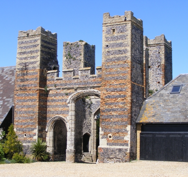 The image for Day 319 of the VM_365 project shows Dent-de-Lion gatehouse, Garlinge. The Gatehouse was constructed in the early 15th century forming the main entrance into the courtyard of a now demolished fortified house which stood to the north.
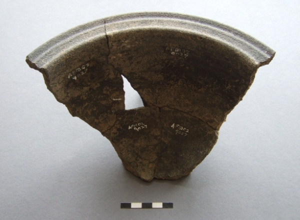
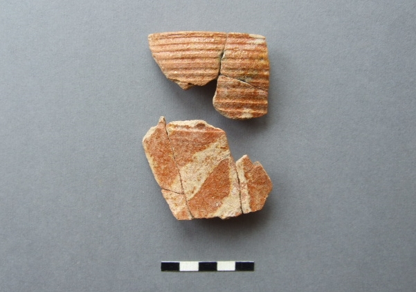 The image for Day 318 of the VM365 project shows sherd fragments from a medieval tableware jug found in 1979 in an excavation at Netherhale Farm, Birchington.
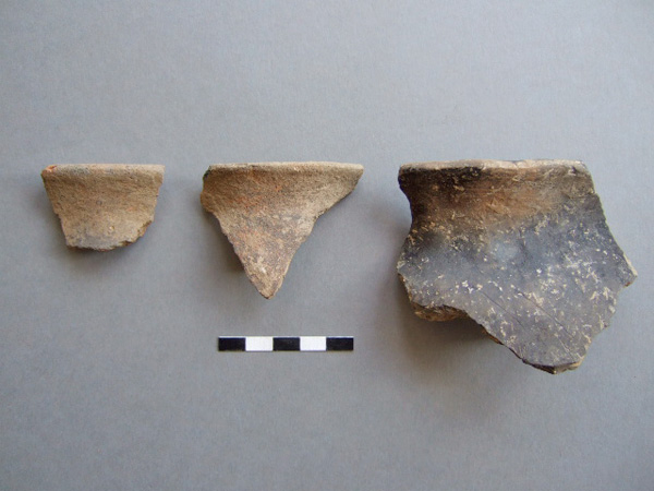