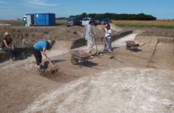
We began excavating sections through a stretch of the ring ditch which has not been sampled before. The edge of the trench at the northern end of the feature had to be defined so we could locate the outer edge and position one section across the ditch.
Preliminary geophysical survey with a magnetometer showed that a composite plan of the area produced after the excavations in 1981/82 had a serious error, placing the ring ditch around 17m too far south of its actual location. It is becoming clear that the feature’s real location in the landscape is more significant to the physical landscape. occupying the plateau at the crest of the downland ridge overlooking Pegwell Bay. This space, with horizons falling away on all but the north west side where the plateau continues, is unique in the natural landscape in this location. The position shares similarities with the location of many round-barrows and other ring ditch features in Thanet, the locations owing more to a careful choice of local topographic conditions rather than a reference to a wider cosmology.
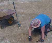 In a later period, as yet undetermined, the southern edge of the round barrow was cut by a series of pits and possibly a large cut feature. We bagan to try to define the dimensions and shape of the feature by excavating another small section into it, As we make progress with this the nature of the later features will be more clearly defined and perhaps dated in the next few days of work at the site.